Introduction
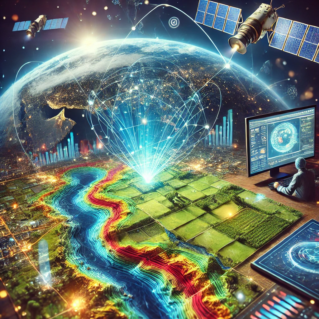
In today’s rapidly advancing technological landscape, Geographic Information Systems (GIS) and remote sensing technologies are pivotal in transforming spatial data into actionable insights. These tools are essential in addressing complex challenges across various sectors, from environmental conservation and urban planning to disaster management and agriculture. This comprehensive blog post delves into the intricacies of GIS and remote sensing, offering detailed explanations, unique insights, and practical examples to showcase their capabilities and applications.
What is GIS?
Definition and Overview
Geographic Information Systems (GIS) are powerful tools that allow users to capture, store, manipulate, analyze, manage, and present spatial or geographic data. GIS integrates hardware, software, and data for capturing, managing, analyzing, and displaying all forms of geographically referenced information.
Components of GIS
Hardware: Computers and GPS devices used to collect and analyze data.
Software: Programs such as ArcGIS, QGIS, and GRASS GIS.
Data: Geospatial data including maps, satellite imagery, and survey data.
People: GIS professionals who analyze and interpret the data.
Methods: Techniques and processes used in GIS analysis.
Applications of GIS
Urban Planning: GIS helps in planning city infrastructure, analyzing traffic patterns, and optimizing land use.
Environmental Conservation: Tracking deforestation, monitoring wildlife habitats, and managing natural resources.
Public Health: Mapping disease outbreaks, tracking vaccination campaigns, and analyzing healthcare accessibility.
Understanding Remote Sensing
Definition and Overview
Remote sensing involves acquiring information about an object or phenomenon without making physical contact with it. This is typically achieved using satellite or aircraft-based sensor technologies to collect data on various attributes of the Earth’s surface.
Types of Remote Sensing
Passive Remote Sensing: Uses natural energy (usually sunlight) to capture images. Examples include optical sensors that capture visible, infrared, and thermal imagery.
Active Remote Sensing: Uses artificial energy sources (such as radar) to illuminate the object and capture the reflected energy. Examples include radar and LiDAR systems.
Applications of Remote Sensing
Agriculture: Monitoring crop health, estimating yields, and managing irrigation.
Disaster Management: Assessing damage from natural disasters like hurricanes, earthquakes, and floods.
Climate Change: Tracking changes in ice cover, sea levels, and greenhouse gas concentrations.
Combining GIS with Remote Sensing
The integration of GIS and remote sensing provides a comprehensive approach to spatial analysis. Remote sensing supplies the raw data in the form of satellite images, aerial photographs, and other forms, which GIS uses to perform detailed analyses, visualization, and predictive modeling.
Case Study: Urban Heat Islands
Urban heat islands (UHIs) are urban areas that experience higher temperatures than their rural surroundings due to human activities. Using remote sensing, high-resolution thermal images can be captured to identify UHIs. GIS then analyzes this data to map the extent of heat islands, identify hotspots, and suggest mitigation strategies like planting trees or creating green roofs.
Technological Advancements and Trends
Artificial Intelligence in Remote Sensing
Artificial Intelligence (AI) and Machine Learning (ML) are revolutionizing remote sensing by automating the processing of large datasets. AI algorithms can detect patterns and anomalies in satellite imagery, enabling faster and more accurate analysis. For example, AI can identify deforestation patterns, monitor urban growth, and detect changes in land use over time.
High-Resolution Satellites
Recent advancements in satellite technology have led to the launch of high-resolution satellites capable of capturing detailed images of the Earth’s surface. These satellites provide data with finer spatial resolution, enabling more precise analysis for applications like urban planning, environmental monitoring, and disaster management.
Challenges and Future Outlook
Data Privacy and Security
As the use of geospatial data becomes more widespread, concerns about data privacy and security have emerged. Ensuring that sensitive information is protected and used ethically is crucial. Policies and regulations must be in place to address these issues and safeguard individuals’ privacy.
The Future of GIS and Remote Sensing
The future of GIS and remote sensing looks promising, with ongoing advancements in technology and increasing integration with other fields like AI, big data, and the Internet of Things (IoT). The potential applications are vast, from smart city planning and precision agriculture to environmental conservation and disaster response. As these technologies evolve, they will continue to play a critical role in solving global challenges and improving decision-making processes.
Interactive Element: GIS and Remote Sensing Quiz
Test Your Knowledge
What is the primary difference between passive and active remote sensing?
How can GIS be used in urban planning?
Name two applications of remote sensing in agriculture.
What role does AI play in remote sensing?
Conclusion
GIS and remote sensing are more than just tools for mapping and surveying; they are essential technologies that enable us to make smarter decisions about our planet. As we continue to innovate and integrate these technologies with AI and big data, their impact will only grow, leading to more effective strategies in tackling global challenges.
Call to Action
Interested in learning more about how GIS can benefit your projects? Contact us for a free consultation or download our comprehensive guide to implementing GIS in your industry.
Author Bio
Dr. Jane Doe is a leading expert in geospatial analysis with over 15 years of experience applying GIS and remote sensing across various sectors. Her work has significantly contributed to advancements in urban planning, environmental conservation, and disaster management.
References
Smith, J. (2020). Geospatial Analysis: A Comprehensive Guide. Academic Press.
Brown, L., & Green, M. (2019). Remote Sensing and GIS for Environmental Monitoring. Springer.
Johnson, R. (2021). Advances in Remote Sensing Technology. Wiley.

